1
/
of
1
Karen Nease Studio
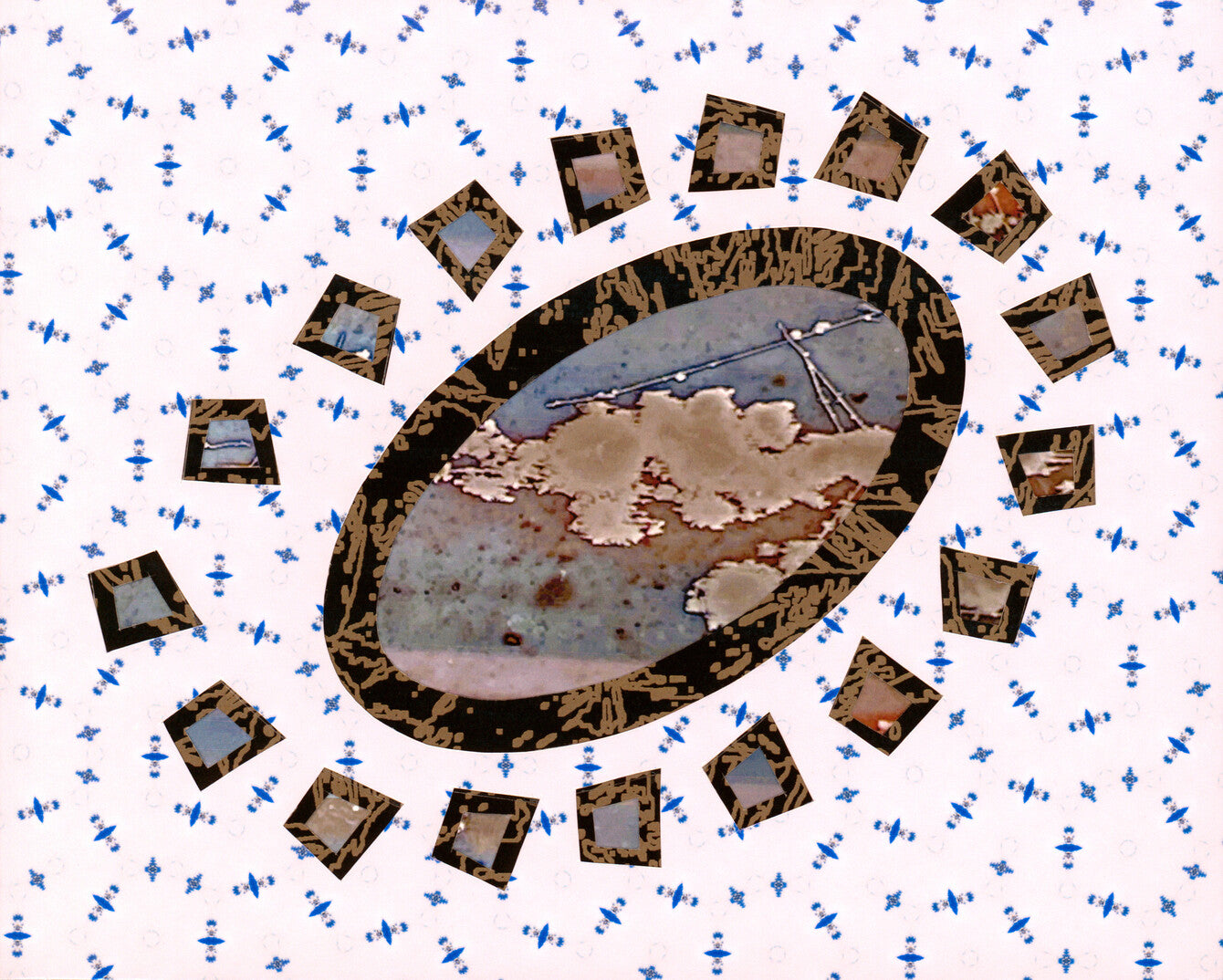
Landsat layered archival pigment prints 8" x 10"
Landsat layered archival pigment prints 8" x 10"
Regular price
$10,000.00 USD
Regular price
Sale price
$10,000.00 USD
Unit price
/
per
Couldn't load pickup availability
Share
Landsat satellites are a program of NASA and are used to track land use and document land changes due to climate change, urbanization, drought, wildfire, vegetation changes, and other natural and human-caused changes. I find the Landsat imagery fascinating and generate my equivalent of aerial or "satellite" imagery and patterns from photos of frost on windows or ice in street curbs, for example. Utilizes the Escaping Gravity template and three unique patterns.
View full details


